The Delta is California’s largest estuary and a vital hub in the water supply system.
- The Sacramento–San Joaquin Delta lies at the confluence of two of the state’s largest rivers. Forty percent of California’s runoff flows into the Delta, which—together with the San Francisco Bay—forms one of the West Coast’s largest estuaries.
- The Delta watershed supplies water to roughly 30 million residents and more than 6 million acres of farmland. Water exported from the Delta goes to the Bay Area, the southern San Joaquin Valley, the Central Coast, and Southern California (first figure).
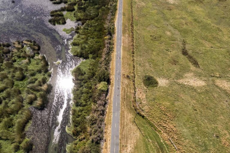
- Today’s Delta is dramatically different from the one that existed before statehood—some 1,100 miles of levees have converted 700,000 acres of tidal marsh into “islands” of farmland. Farming has caused peat-rich soils to oxidize and land to sink: today, many islands are 10 to 25 feet below sea level.
Most Californians rely on resources from the Delta and its watershed
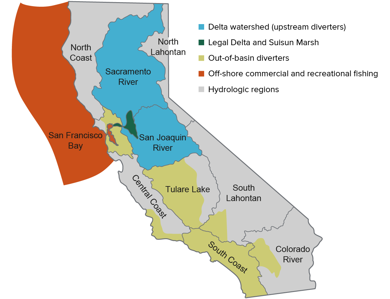
NOTES: Out-of-basin diverters include those receiving Delta exports as well as parts of the San Francisco Bay and Tulare Lake hydrologic regions receiving water from the Mokelumne, Tuolumne, and San Joaquin Rivers. Some water users in the San Joaquin River hydrologic region also receive Delta exports.
Three interlinked issues currently face the Delta: first, an increasingly unreliable water supply . . .
- During much of the last century, use of the watershed’s supplies by farms and cities was growing—both upstream and in areas receiving Delta exports—and outflow into San Francisco Bay was declining. More recently, the patterns have changed (second figure).
- To keep the Delta’s water fresh enough for use by cities and farms, large volumes of water must flow out of the Delta. Since the early 1990s, more outflow is required to manage salinity, and these needs could grow with sea level rise and other changes.
- In the mid–1990s and 2000s, regulations on water flow and quality were expanded—and export pumping limits were set—to improve ecosystem health and protect endangered species. The changes in required outflow for salinity and ecosystems have reduced exports in most years.
- The climate of the Delta watershed is changing, with warmer, more intense droughts, which are reducing the water stored in snowpack and increasing evaporative demand—or the “thirst of the atmosphere.” Upstream water use appears to be rising, leaving less water flowing into the Delta for other uses: in 2021, more than 80% of watershed runoff was used upstream.
Water uses in the Delta watershed have been changing over time
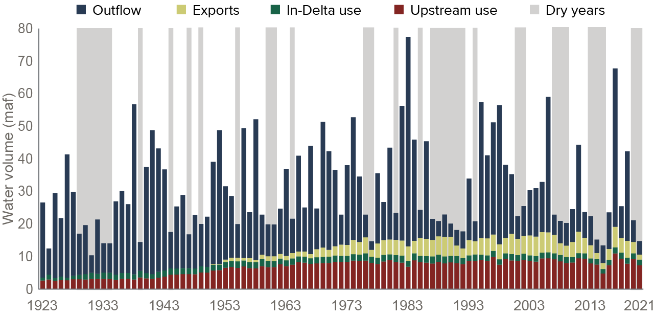
SOURCES: Uses and outflow: Delta Vision Blue Ribbon Task Force, Our Vision for the California Delta (upstream uses pre-1980), PPIC Delta Water Accounting; dry years: Department of Water Resources.
NOTES: For an explanation of uses, see Tracking Where Water Goes in a Changing Sacramento–San Joaquin Delta. Upstream and in-Delta uses (or “depletions”) include net water diversions, water consumed by natural vegetation, channel evaporation, and net increases in groundwater storage. Dry years are those classified as critical or dry in the Sacramento Valley based on the California Cooperative Snow Survey.
. . . second, a decline in ecosystem health . . .
- The Delta has lost more than 98% of its historic wetlands and roughly half of its freshwater inflow, greatly reducing food sources and habitat for innumerable native plants and animals. Changes in the Delta have also made it welcoming habitat for numerous invasive species.
- Although the watershed still supports a recreational and commercial fishery, keystone species—including several runs of salmon—are threatened with extinction. Increases in environmental flows have not stopped the decline in native species.
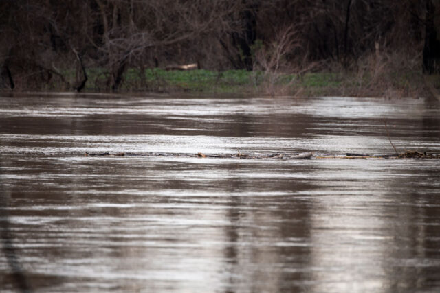
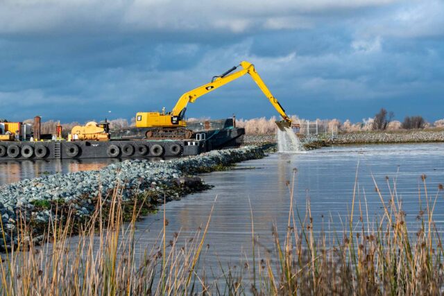
. . . and third, a fragile system of levees.
- The Delta relies upon 1,100 miles of fragile levees to protect local farms and communities. These levees are under threat from rising sea level, earthquakes, floods, and continuing subsidence of the farmland behind them.
- Some of the Delta’s levees help maintain water quality for water exports, but they also support roads, pipelines, and power lines that underpin the local economy.
- Given their condition, it will be very expensive to strengthen the 1,100 miles of levees in the Delta, and limited funds are currently available. A prioritization effort is underway.
The Delta’s future is uncertain.
- The reliability of water supply in the Delta and its watershed is in decline. Improving above and below-ground water storage in wet years will be key, as will better management of demand. Decisions lie ahead on whether to build a tunnel underneath the Delta that could improve supply reliability, but at considerable cost.
- New approaches are needed to address the negative changes in the Delta ecosystem, including major investments in habitat and more strategic use of water available for the environment.
- Difficult decisions also loom about investments for levee improvements and responses to levee failures when they occur.