
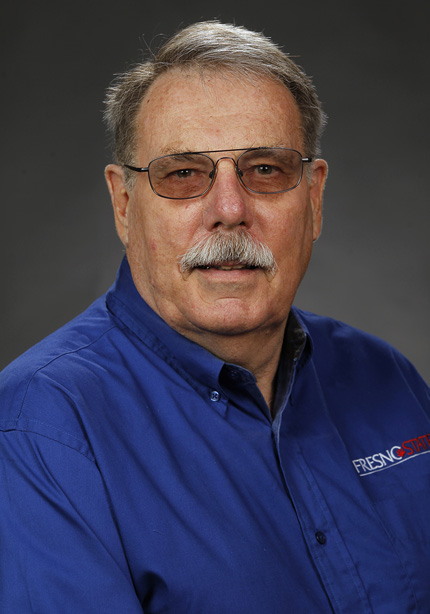
In Sarge Green’s 40-plus year career, he’s worn an astonishing number of hats. Now a water management specialist with California State University, Fresno, Sarge has worked on water quality issues at the regional water board, served as general manager of an irrigation district, and managed two resource conservation districts (RCDs). He’s also a director for the Tule Basin Land and Water Conservation Trust and the Fresno Metropolitan Flood Control District. He’s been a long-time partner with the PPIC Water Policy Center in our San Joaquin Valley work as a trusted member of our research network.
Sarge remains deeply involved in efforts to help San Joaquin Valley farms and communities cope with the challenges of implementing the Sustainable Groundwater Management Act. We spoke with him about a pressing issue in the valley: how to manage farmland that will be transitioning out of intensive irrigation.
How should we deal with the San Joaquin Valley lands that need to come out of production?
The key is to find affordable repurposing. The Tule Basin Land and Water Conservation Trust is a new local NGO formed to support local landowners making decisions about how to achieve local groundwater sustainability. It’s been very successful grant-wise—including a $10 million Multibenefit Land Repurposing Program grant. We’ve also received a $5 million grant from the US Bureau of Reclamation to buy a dairy farm that went out of business, and we’re now developing a repurposing plan for that land.
The latter plan is focusing on two functions: a return to native habitat and creating groundwater recharge where the soil permits. But it’s very expensive to restore these 467 acres: the tab is currently $5.4 million. Land costs alone are estimated at $1,700/acre. So you can see that if we spend that kind of money on the 500,000 to 1 million acres that may be retired, that’s a big price tag. NGOs are not the answer for all the potential land repurposing.
When I was working for one of the RCDs, we did upper watershed landscape management planning. The plans were for the Arroyo Pasajero watershed—a large Diablo Range area of ranchland with creeks—which were very successful, and they didn’t cost much. The plans were done with grant funds by Sage Associates out of Santa Barbara. The ranches fenced around streams and installed solar pumps, pipes, and upslope troughs to keep cattle out of the streams. What happened—very quickly—was that riparian corridors were restored: springs reappeared and native vegetation began to come back. So we know that if we do the right landscape planning, then we can do good restoration work. Not all of it has to be expensive.
What stands in the way of land repurposing?
One key roadblock is the lack of the right institutions to help plan for this change. RCDs are particularly suited to do such work. They’re service agencies tied directly into the USDA’s Natural Resources Conservation Service (NRCS), and they can help with farm plans, ranch plans, and restoration plans. A lot of this is done in other western states, much more so than in California. Especially in the San Joaquin Valley, there are gaps in coverage. RCDs can also help bring in support funding from USDA Farm Bill programs.
You were part of a team that mapped gaps in RCD coverage for our 2019 report Water and the Future of the San Joaquin Valley. Are you seeing any tangible changes?
Yes, some consolidation has occurred, such as with the Madera-Chowchilla RCD, but we’re not yet where we need to be. Just like many other resource management agencies, RCDs are often very localized. They don’t coordinate well with each other, and they don’t fit watershed boundaries or groundwater boundaries. Some of the most successful ones—because they have funding—are the county-wide ones like Shasta RCD and Alameda County RCD. They have a tax increment and some really good programs.
Is there a role for groundwater sustainability agencies to play in land repurposing?
Every piece of land needs to have a landscape plan. A farm plan is not just about growing crops—it needs to include resource management strategies in general. So GSAs can help make sure that the groundwater aspects of a farm plan are copacetic—whether it’s demand management or capacity for recharge—and deal with environmental restoration, whether it’s a bee garden or a riparian corridor.
Erosion has cost farms lots of acres. We need to widen riparian corridors and give rivers room to move, so that in high-flow events the land doesn’t just erode. Having RCDs—and by extension, NRCS—involved in landscape planning gives the GSAs some more tools and capabilities, because we can also use those riparian corridors for groundwater recharge.
Anything else?
I’ve had a lot of fun solving problems. That’s been the goal all along. Whether it was ranch plans, timber harvest plans, or cleaning up Superfund sites—they were all fascinating. I have an ongoing need to come up with solutions that fix things.